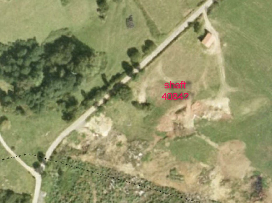
4084: shaft (capped)
Hoznayo 30T (Datum: ETRS89. Accuracy code: M) Altitude 70m
Depth 20m
Area position : Logbook search
Updated 1st July 2018
This has only been seen from inside the Torca Cañaos - Riocueva system, on an un-named passage south of the Paso del Diablo, where concrete and surface debris can be seen at the base of an aven. On the surface, a grassy field is seen in 2014, but aerial photos from the Gobierno de Cantabria maps site taken around 2001 and 2002 show earthworks and a possible shaft at the approximate position. (The grid reference has been taken from the cave survey and it is not certain that the shaft went vertically to the surface.)
Reference: anon., 2014c (summer logbook)
Entrance pictures : 2001 aerial photo taken from Gobierno de Cantabria maps site
Underground pictures :
Video :
Detailed survey :
Line Survey :
On area survey :
Survex file :
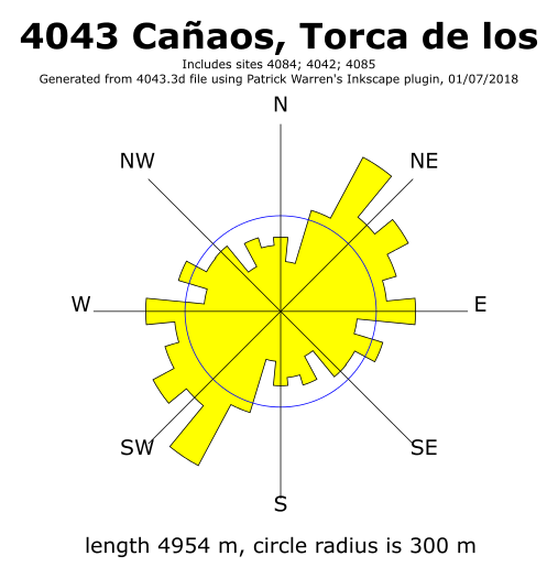
Passage direction rose diagram: 1/7/2018