Updated 10th October, 6th November 2004; 16th May 2009; 13th May 2019; 20th June 2022
The top entrance is next to a field but has a more complicated walk-in (2019, from road side pull-ins to the south) due to the direct route below the farm being clogged up with rubbish. The bottom entrance emerges in dense
jungle with site 2100 about 50m further down.
This is a
through-trip in walking-size passage and an archaeological site where
a few flints indicate that the cave contains palaeolithic remains. These are summarised in Ruiz Cobo Jesús and Muñoz Fernández Emilio et al, 2009.
Red marks near the floor were recognised in 2018 prompting a full documentation session by Spanish archaeologists on 11th April 2019. 3D laser scanning and photogrammetry were used to survey the cave and record the marks. One set of marks were found under a large block at the southern entrance where, the only way to view them was to crawl in and lie on your back.
Reference: GEISC/R and CAEAP, 1986 (survey); Muñoz E, 1988; anon., 2004d (summer logbook); Corrin Juan, 2006; Ruiz Cobo Jesús and Muñoz Fernández Emilio et al, 2009 (survey); anon., 2019b (Easter logbook)
Entrance pictures : 2004 and April 2019
Underground picture(s): 2004 : April 2019 (red marks)
Videos : jungle to the bottom (N) entrance bottom (N) entrance and flying bat bat
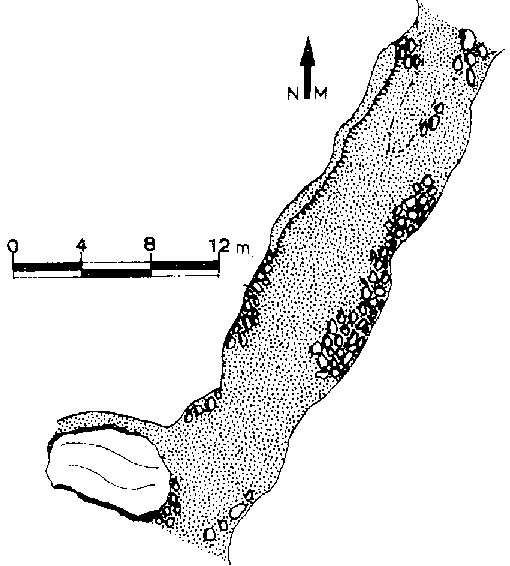
Detailed Survey : from GEISC/R and CAEAP, 1986
Line Survey :
On area survey :
Survex file : Reconstructed from 1986 survey