Updated 30th August 1998; 9th November 2003
A draughting entrance at the track enters a steep, descending tube to deep water with a bouldery mess above.
In the trees above, squeezes through a short 3D network of phreas leads to a 3m wide tunnel and a short climb up to an excavated section into a calcited chamber. The passage continues to several branches and climbs on a hading fault rift. The tighter, low level route leads to a small chamber and the end.
Above the entrance passage is a series of serious free climbs in large calcited avens which remain unexplored despite the draught.
An aven was bolted in 1997 on mud and stal for about 20m to where it closed down in a rift.
In 1998, 51m were surveyed near the end, linking 2 passages, and the Orujo Series was entered. This starts halfway down the cave and passes beneath the entrance to end in a boulder choke near the path.
References: anon., 1980a (logbook); Corrin J et al, 1981b (survey); Corrin J S and Smith P, 1981; material in file; anon., 1987 (logbook); Corrin J and Knights S, 1988; anon., 1997a (Easter logbook); anon., 1997b (logbook); anon., 1998d (logbook); Corrin Juan, 1999
Entrance picture :
Underground picture(s):
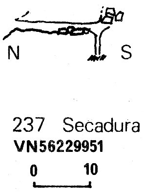
Detailed Survey :
| 1980 | known cave |
| 1987 | known cave 1:1000 |
Line Survey :
On area survey :
Survex file : yes (Amended magnetic declination December 2013 to align with Eur79 grid and coordinates altered to fit ETRS89 datum, April 2014.)