Updated 6th November 2003; 19th September 2012
A complex entrance leads to a low crawl in liquid mud and, after 50m, a junction
at a pool. The way to the left enters varied passage ending at a low airspace
with no draught. To the right the passage divides and chokes.
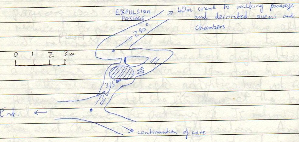
In August 2012, the cave was revisited in drought conditions. The route to the north, about 100m in, was found to be choked with silt and an aven was climbed to where it became unsafe, although a possible meander passage was seen to go off the top. A crawl was also pushed for about 10 - 15m to where it became too small. Nearer the entrance, a new passage was entered - Expulsion Passage - originally marked as "gatera inundada" on the original Spanish survey and marked at E/F3 on the 1975 survey. After 10m or so, a 40m crawl leads to walking passage with decorated avens and chambers. An annotated 1975 survey can be seen here with a sketch of the start of Expulsion Passage here.
References: Fernández Gutiérrez et al, 1966 (survey); anon., 1974a; anon., 1975b (Easter and summer logbooks); Kendal Caving Club and Manchester University Speleological Society, 1975 (survey); anon., 1975a; Manchester University Speleological Society, 1982 (survey); Mills L D J and Waltham A C, 1981 (survey); Corrin J S and Smith P, 1981; anon., 2012d (summer logbook); Corrin Juan, 2013a
Entrance picture : yes
Underground picture(s): yes
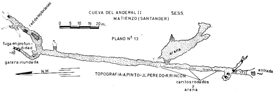
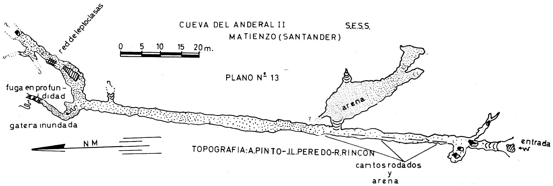
Detailed Survey : from 1965: low res high res.
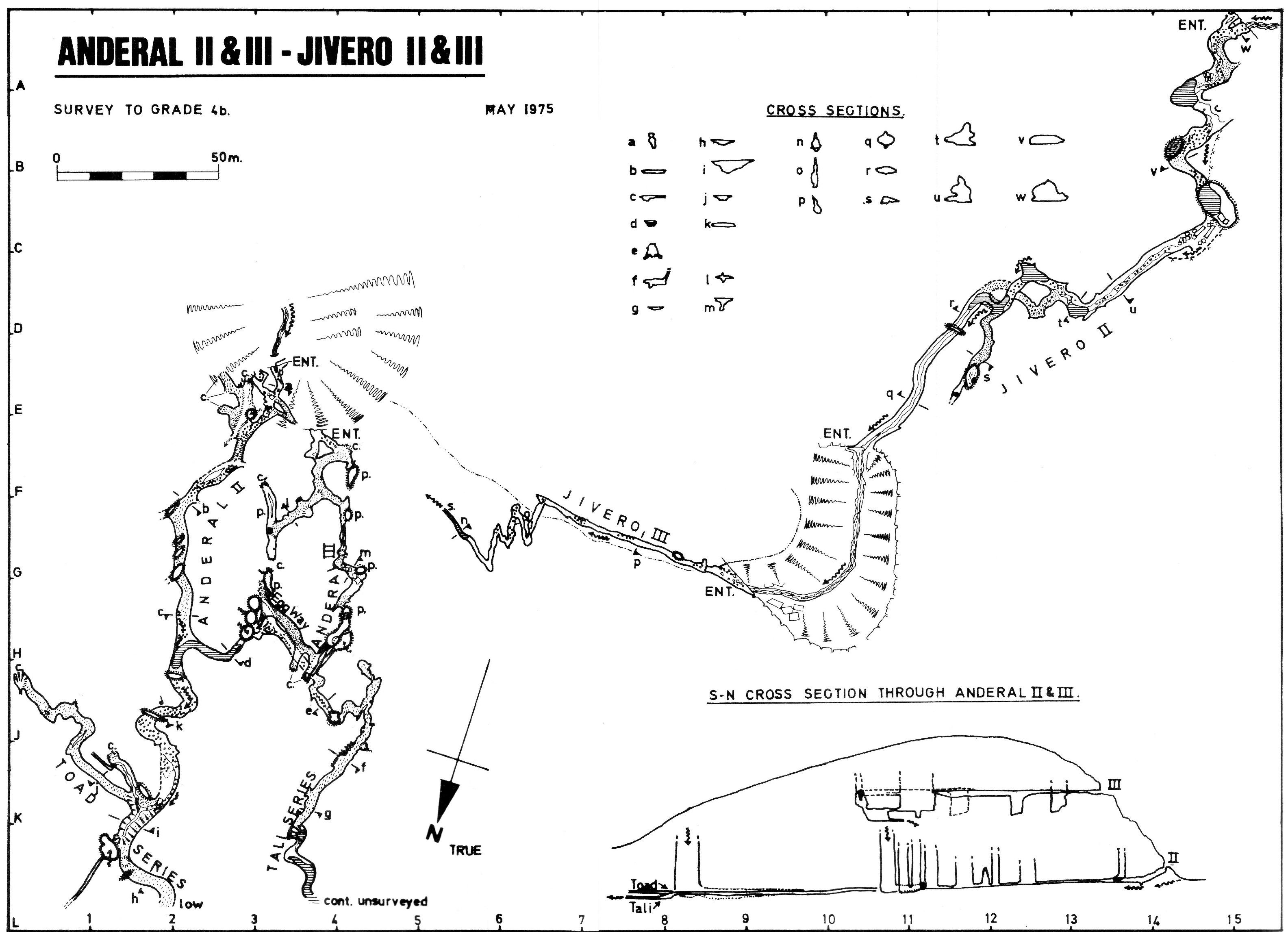
From 1975 - With Anderal III, Jivero II and Jivero III: low res high res
From 2012: annotated survey of explorations : sketch at the start of Expulsion Passage
Line Survey :
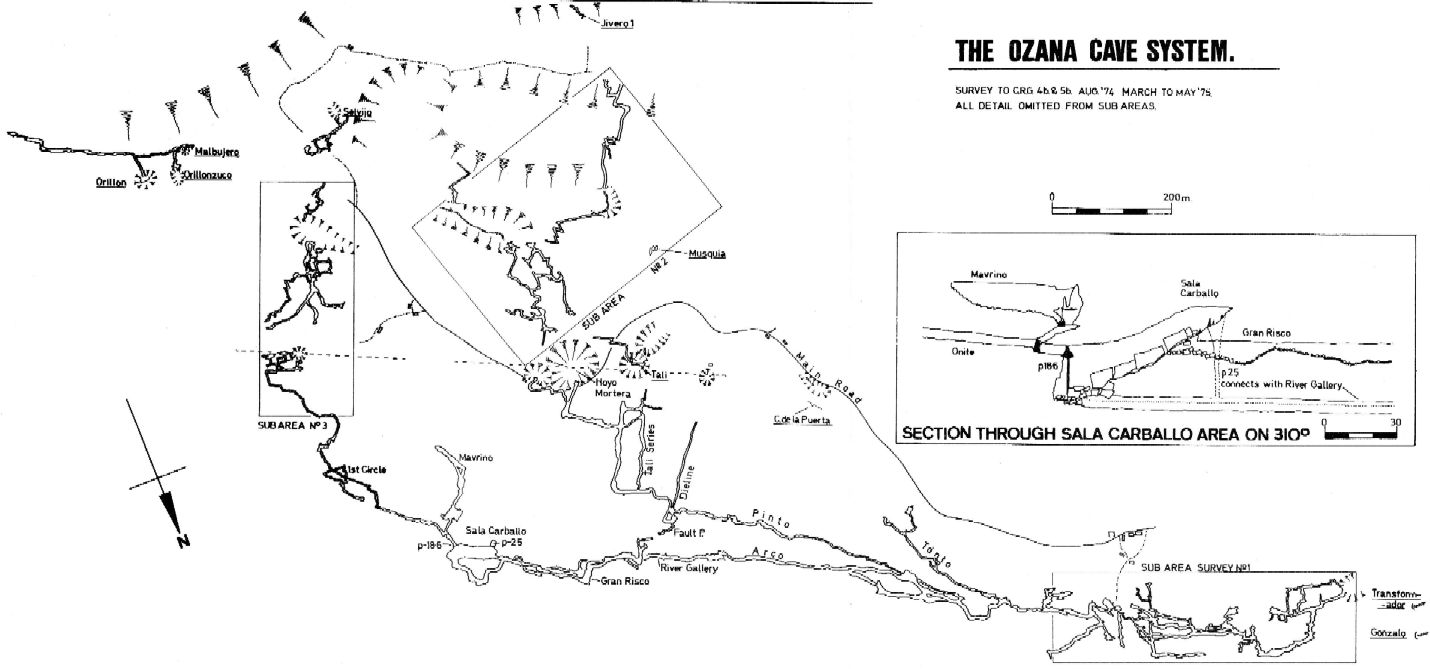
On area survey : 1975 Ozana area map. Not a lot of detail. low res high res
Survex file :